Southern Maryland Drone Photography

Editing Services
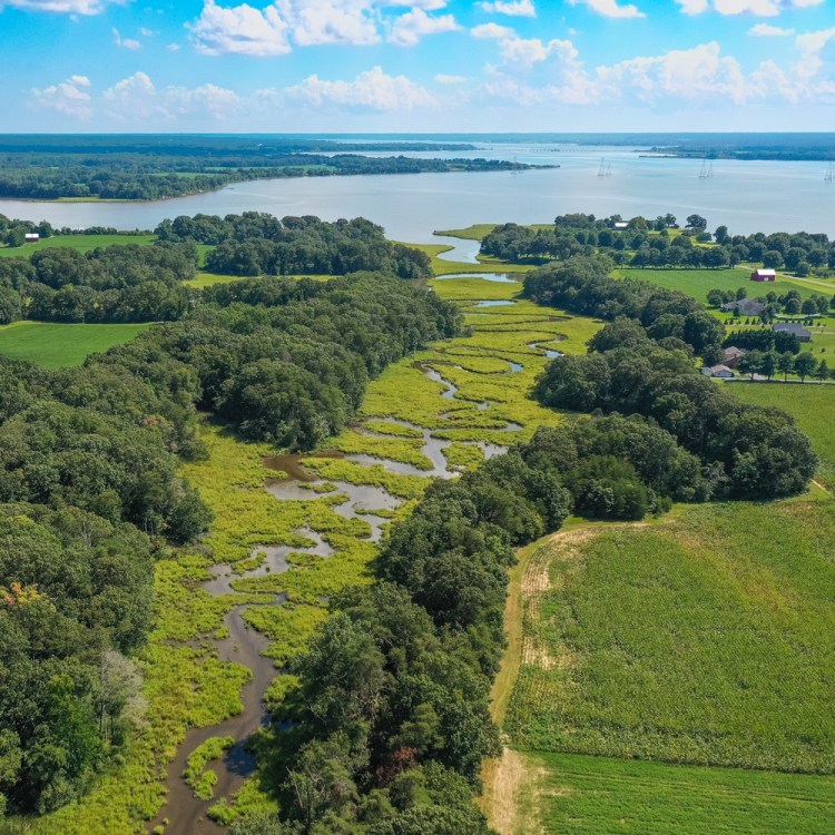
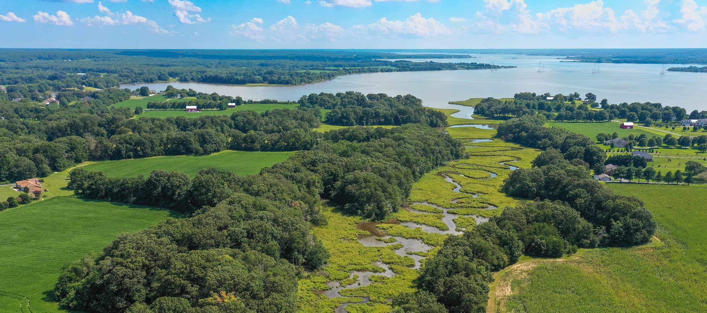
Aerial Photography

Willa Snap
GGP Aerial Photography Disclaimer:
GGP Aerial Photography does not interpret survey grade information. For projects where exact measurements count, you still need to rely on a licensed land surveyor or survey engineer. We do not replace the need for a licensed land surveyor. Additionally, we do not overlay property boundaries on home lots (developed or undeveloped) for sale for the same reasons noted above.
